
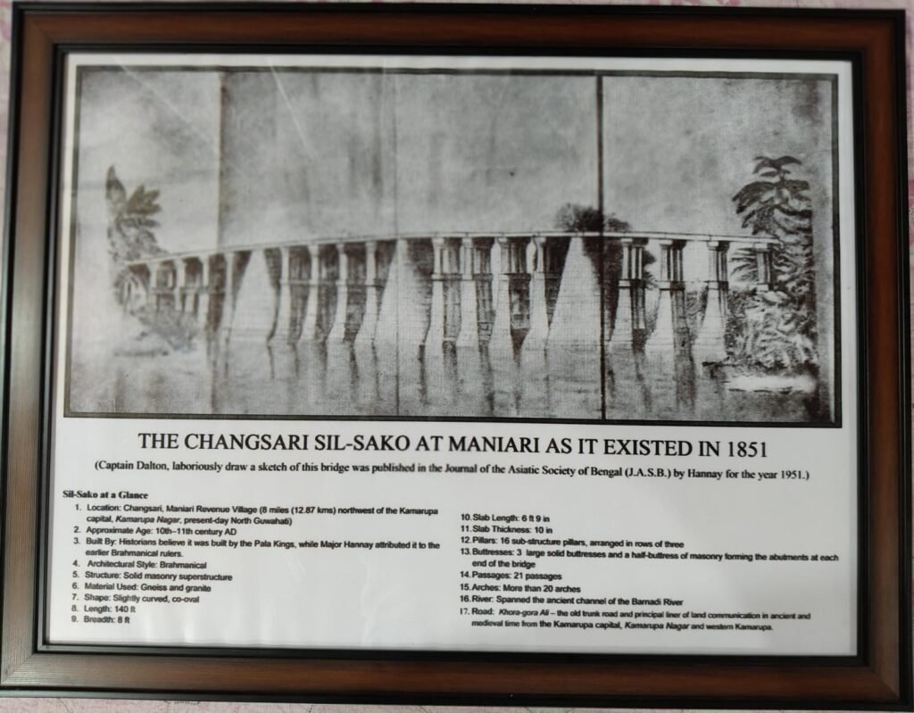
Just 25 kilometres from Guwahati, beyond the familiar bustle of the city, lies a quieter Assam of winding country roads of North Guwahati, tranquil villages, ancient stones and stories waiting to be rediscovered. Around Maniari revenue village, along the Changsari Borka road, the fading memory of Changsari Sil-Sako still lingers. The remarkable stone bridge once spanned an ancient channel of the Barnadi and formed part of an important communication route through Kamarupa. Built from massive blocks of gneiss and granite, it is said to have been about 140 feet long, with more than 20 arches and 21 passages. Though the old river channel has largely disappeared, the Khora Gora Ali still evokes the route that once connected Kamarupanagar with western Kamarupa.
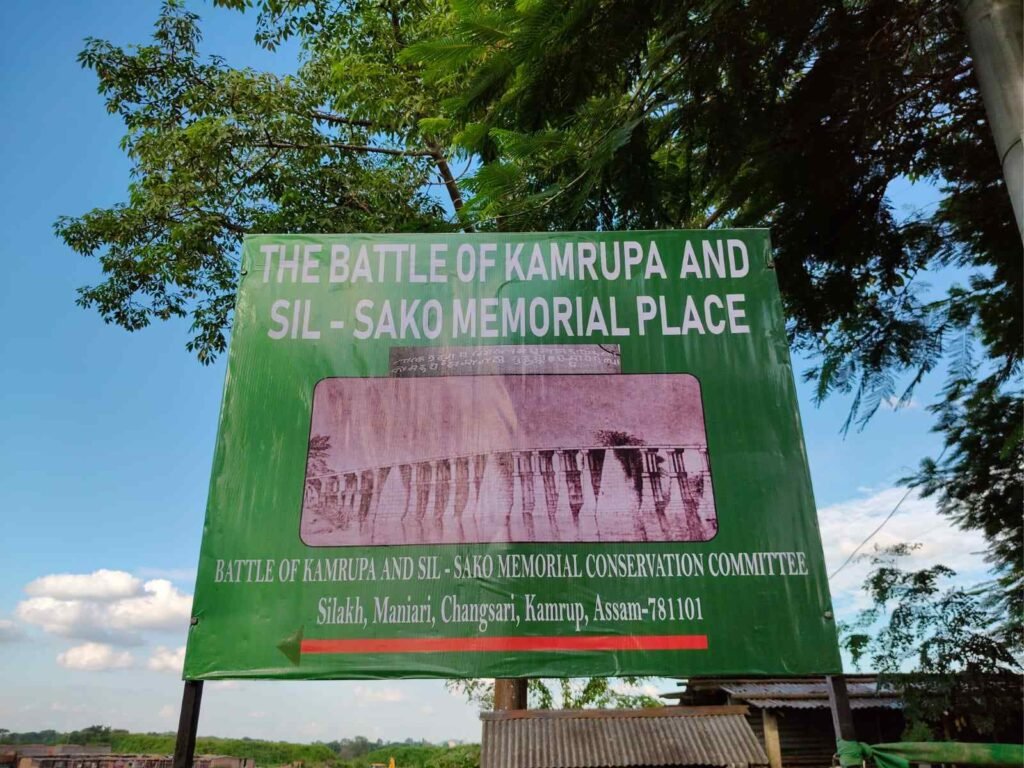
The origins of Sil-Sako remain intriguing. Some historians attribute its construction to the Pala Kings, while others believe it dates to an earlier period of Brahmanical rule. A rare sketch made by Captain Dalton in 1851 and published by Hannay in the Journal of the Asiatic Society of Bengal offers a fascinating glimpse of the bridge before time transformed the landscape. Sil-Sako is also associated with one of medieval Assam’s dramatic historical episodes. In 1205–06 CE, Muhammad Bakhtiyar Khalji, a Turko-Afghan military general and his advancing army are believed to have crossed this route following their disastrous expedition towards Tibet. After fierce resistance near the Bhutan frontier, the exhausted forces retreated through the same route. Local accounts suggest that Raja Prithu of Kamarupa cut off their supplies, weakening the army through hunger and exhaustion. It is also said that, during the retreat, two arches of Sil-Sako were removed, disrupting the crossing and trapping the soldiers before an unfordable river. The ensuing conflict ended in the crushing defeat of the invading forces. The Kanai Borosibowa rock inscription at Rajaduar adds another layer to this remarkable historical landscape.
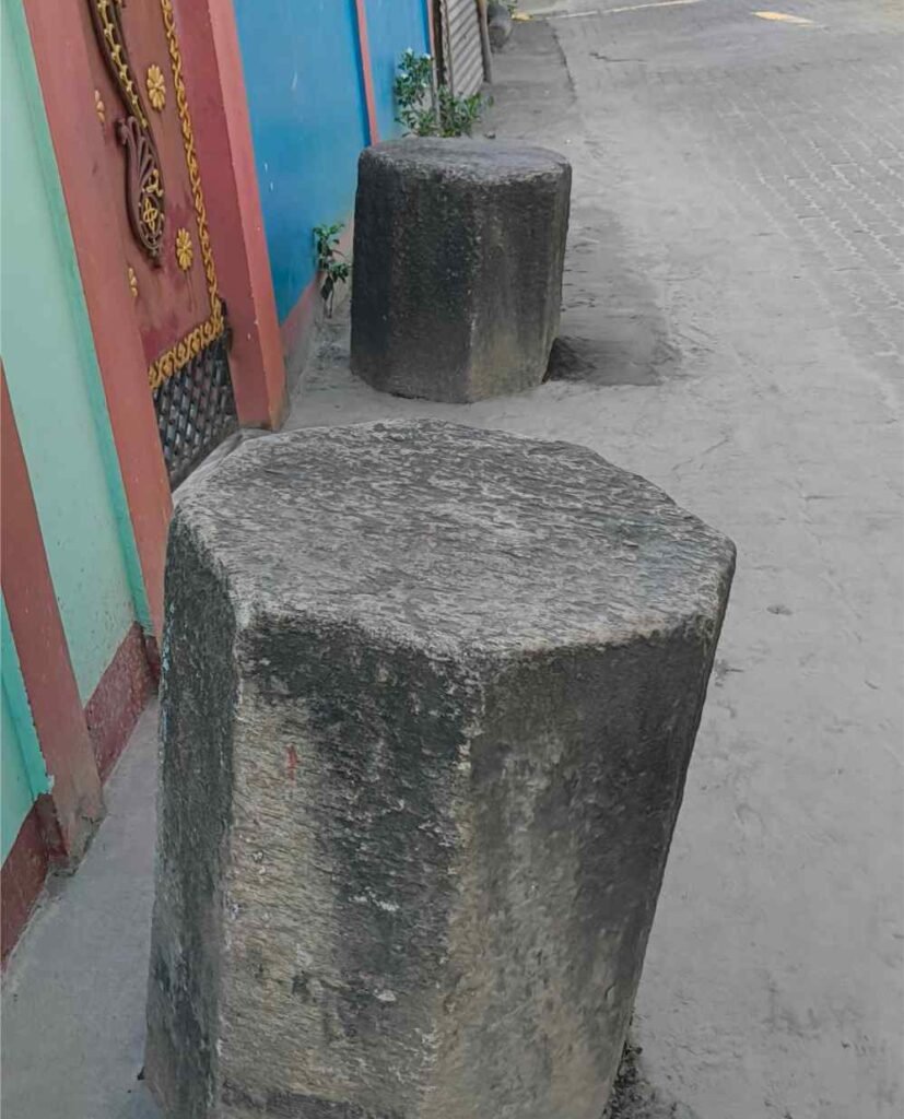
Built with massive blocks carefully fitted together and secured with iron pins and clamps, without mortar, Sil-Sako was an impressive engineering achievement. The great Assam earthquake of 22 June 1897 shattered much of the bridge. As the Barnadi changed course, its remains were left stranded, while villagers are believed to have salvaged many stones for practical use. Some still lie around village homes, temples, naamghars and community spaces, silent witnesses to a forgotten chapter of Assam’s past.
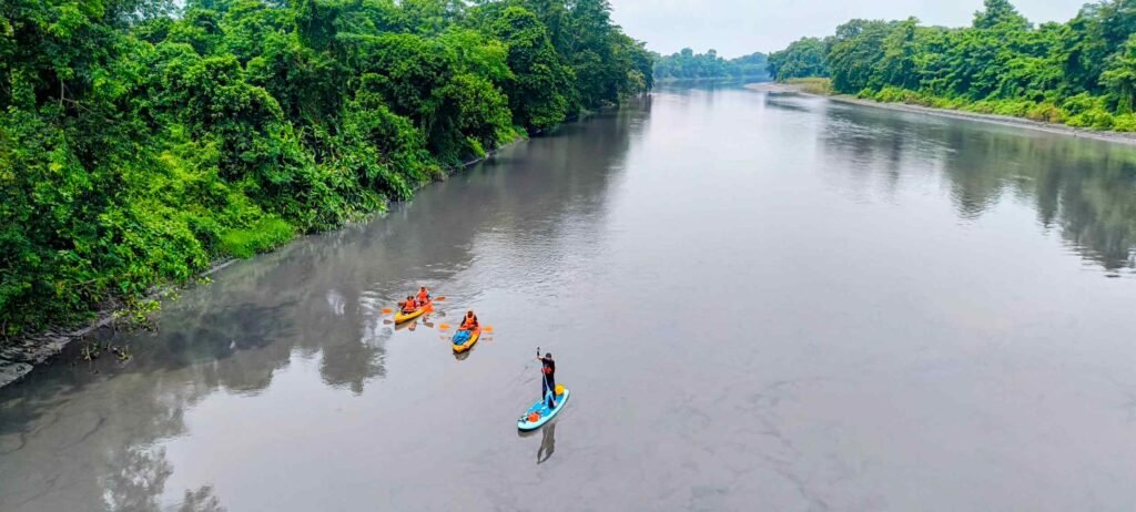
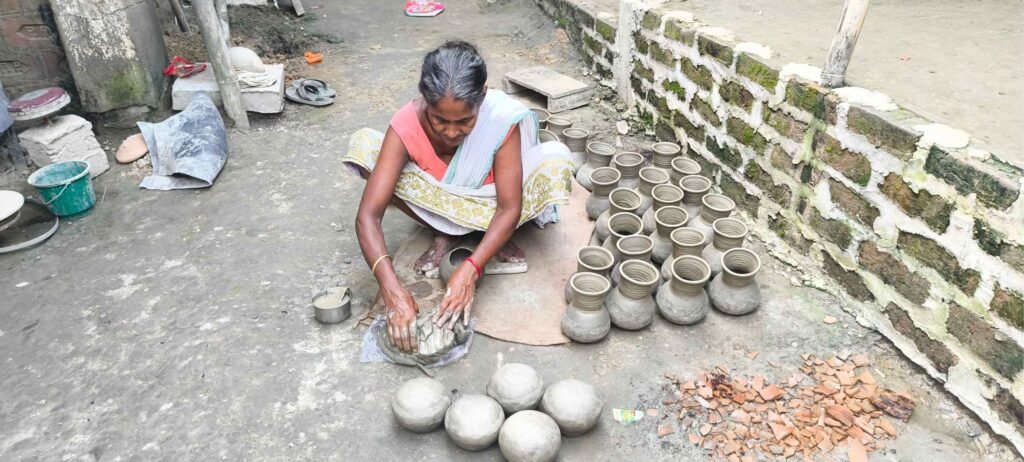
The area has the potential to become an engaging rural heritage and experiential tourism circuit. Visitors could begin at Borka and Maniari, walking through village lanes with local storytellers and pausing to sit upon surviving Sil-Sako stones to hear stories of the bridge. The journey could continue to Dalang for silk weaving, Kamrupi folk songs and a rural museum; Baruajani for Koth craft; and Hathiyana for the distinctive pottery of the Hira community. Dighali Beel, a remarkable group of 27 wetlands, offers bird and butterfly watching, while the Silla Hills could attract trekkers. A two-day experience could also include a safe kayaking journey from the Lokhaitora River in Tamulpur to the Puthimari River near Changsari, with tented stays and village meals. A reconnaissance by a local kayaking team has already explored the river route.
Changsari Sil-Sako may have disappeared, but its story can reconnect the villages, landscapes and history it once linked.